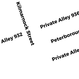
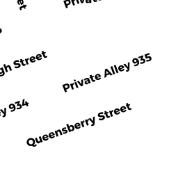
55 Queensberry ST
Owner Information
NORMAN A LEVENSON TRUSTEE
NORMAN A LEVENSON TRUSTEE
BOSTON, MA 02215


Property Details
55 Queensberry ST is classified as a Apartments with More than Eight Units (Apt 7-30 units).
The primary structure on this property was built in 1910. There are 15,505ft2 of built area within this property. There is 15,505ft2 of residential/living space within this property.
55 Queensberry ST is valued at $4,893,000. The land is valued at $2,236,700 and the structures are valued at $2,656,300.
The most recent deed for 55 Queensberry ST is recorded at the local registrar in Book 13973, Page 127. 55 Queensberry ST was last sold on Thursday, August 13, 1987 for $2,095,000.
Assessment data from fiscal year 2020.
Flood Data
According to the FEMA National Flood Hazard Layer, this property does not appear to be in a flood zone. It may also be in an area not yet reviewed. Nonetheless, confirm this information prior to taking any action.
To view the flood hazards around this property, create a FEMA "Firmette" Map of the area around 55 Queensberry ST.
Broadband Internet Providers
| Provider | Type | Bandwidth (mbps) | |
|---|---|---|---|
| GCI Communication Corp. | Satellite | 0 | 0 |
| Verizon New England Inc. | DSL | 15 | 1 |
| VSAT Systems, LLC. | Satellite | 2 | 1 |
| Viasat Inc | Satellite | 100 | 3 |
| Verizon New England Inc. | Fiber | 940 | 880 |
| Comcast | Cable | 1000 | 35 |
| RCN | Cable | 500 | 20 |
| RCN | Cable | 1000 | 20 |
| Starry, Inc. | Fixed Wireless | 200 | 200 |
| netBlazr Inc | Fixed Wireless | 50 | 50 |
| HughesNet | Satellite | 25 | 3 |
Broadband service provider data from December 2020.
Adjacent Properties
- Peterborough ST
Housing Authority owned by SOUTHERN N E CONFERENCE - 72 Peterborough ST
Other Congregate Housing (includes non-transient shared living arrangements) owned by PETERBOROUGH HOUSING - 51 Queensberry ST
Apartments with More than Eight Units owned by NORMAN A LEVENSON TRUSTEE - 5975 Queensberry ST
Parking Garages owned by 60 KILMARNOCK (BOSTON) OWNER LLC